Streamflow flashiness trends

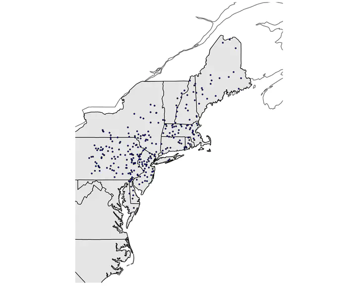
Examining long term trends in streamflow signatures is useful for understanding how changes in land use and precipitation patterns impact streamflow regimes. One particular metric of streamflow regimes that encapsulates flow variations is the Richards-Baker flashiness index. High flashiness is commonly associated with imperviousness, agricultural land management, water management and dam removal, and other human activities. Therefore, examining trends in this signature may provide a lens to examine how streamflow regimes in both flashy and stable watersheds are responding to human activity. In this study, we evaluate the effects of human activities and precipitation pattern changes on streamflow flashiness for 304 watersheds across the northeastern US. We quantified trends in annual Richards-Baker Flashiness Indices for the period of 1970 - 2020 using publicly available streamflow estimates from the USGS. To interpret drivers of these trends, we used land use data from the GAGESII dataset to 1) identify sites where dams were removed or where dam storage increased and 2) classify watersheds into urban ( > 20% imperviousness values) and rural (< 20% imperviousness values). From the 1970s, there has been little change in the proportion of urban and rural watersheds. However, dam removals increased between 1980 and 2012, though we detected no difference in trends between sites where dams were removed and those where no dams were removed. There is also evidence that urban watersheds and watersheds in high snowfall states (Vermont and Maine) exhibited positive trends in flashiness indices. Overall, there are an equal number of positive and negative trends, indicating that flashiness indices across the NE are both increasing and decreasing. These results give us insight into how watershed regimes respond to changing climate, infrastructure, and other associated human impacts.